
GKL
Forum Supporter
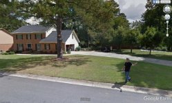
IF you put in your street address or GPS coordinates into Google maps and switch to satellite view, then to 3D view you can zoom in on the latest photo Google has of your house (or many other locations).
You might even use it to search for potential new areas to detect !
It seems they only update them every so often so it could be several years old.
https://www.google.com/maps/
For info on how they get the street level view photos check this page -
https://www.google.com/streetview/understand/
Below are photos from the above link of the devices they use in different areas to get the photos.

 but hey it worked to stop the leak